- English
- Español
Languages:
This site is created using Wikimapia data. Wikimapia is an open-content collaborative map project contributed by volunteers around the world. It contains information about 32631226 places and counting.
Learn more about Wikimapia and cityguides.
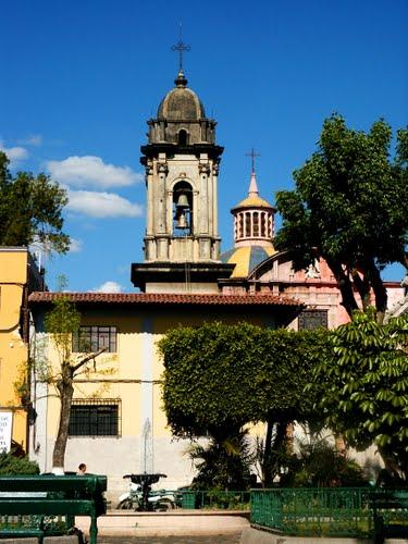
Uruapan
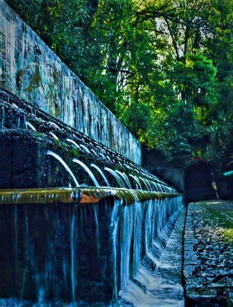
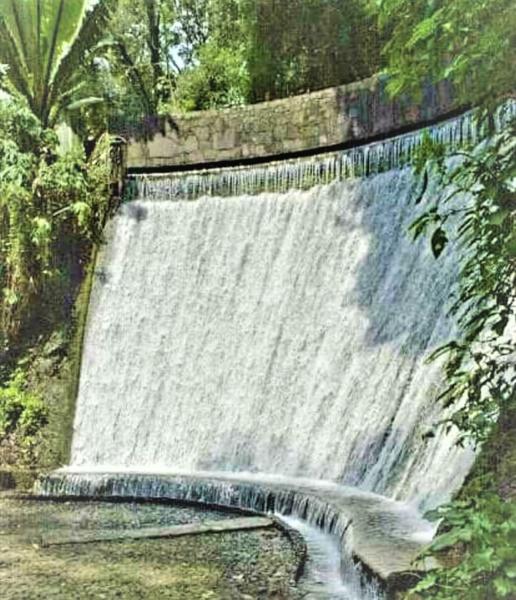
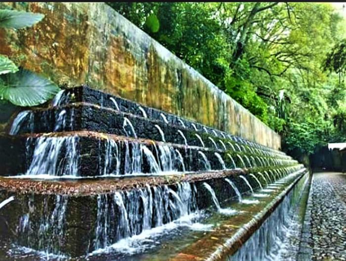
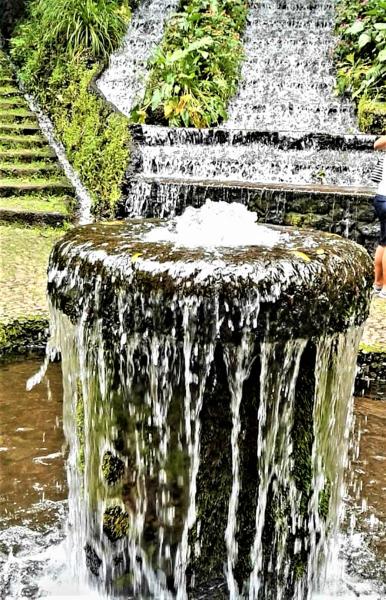
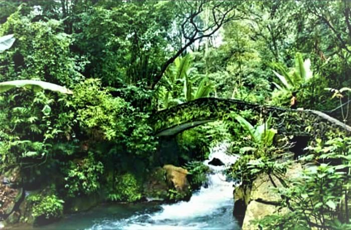
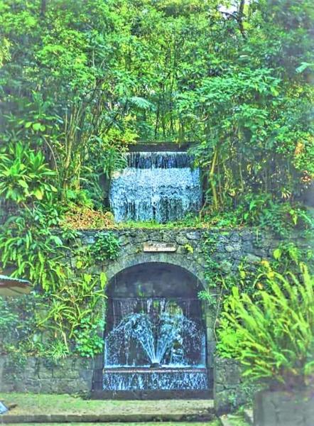
Uruapan is the second largest city in the Mexican state of Michoacán. It is located at the western edge of the Purépecha highlands, just to the east of the Tierra Caliente region. Since the colonial period, it has been an important city economically due its location. The city was conquered by the Spanish in 1522, when the last Purépecha ruler fled the Pátzcuaro area to here. The modern city was laid out in 1534 by Friar Juan de San Miguel. It played an important role in the War of Independence, and was the capital of Michoacán during the French Intervention. Today it is the center of Mexico's avocado growing region, with most of the crop distributed from here nationally and internationally.
Wikipedia article: http://en.wikipedia.org/wiki/Uruapan
Uruapan on the map.
Recent city comments: